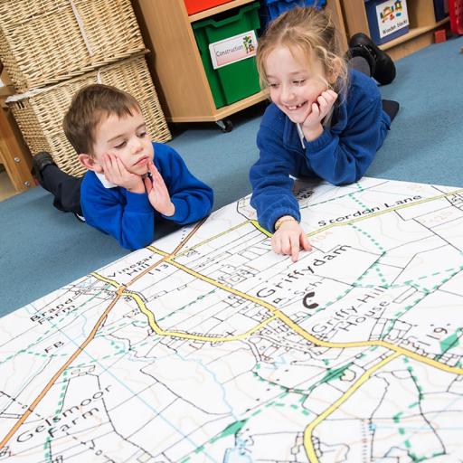
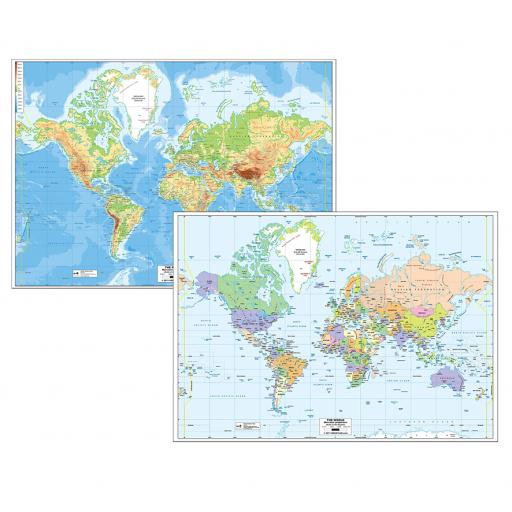
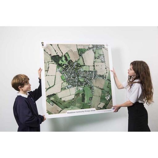
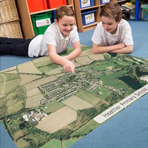
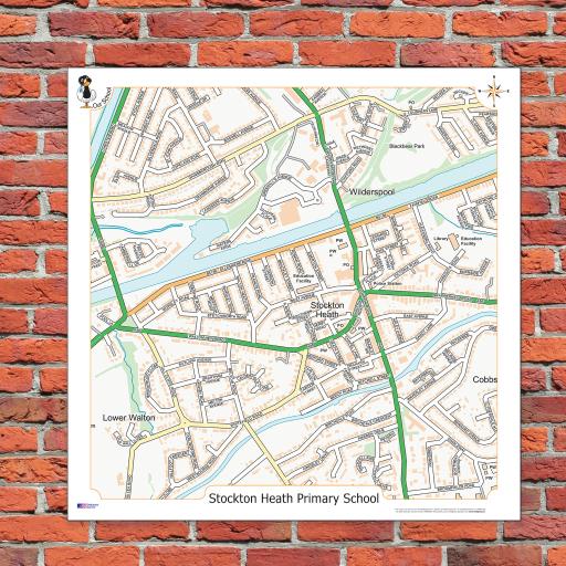
Aerial and Ordnance Survey maps help us to uncover the secrets of our surroundings from a bird's-eye view. Imagine soaring high above your local area, gazing down at the intricate patterns of streets, parks, rivers, and buildings. These maps offer more than just a snapshot of geography; they provide a gateway to understanding the intricate web of spatial relationships that define our communities.
Through Aerial and Ordnance Survey maps, students can visualise the lay of the land in unprecedented detail. They can trace the winding paths of rivers, identify clusters of urban development, and spot hidden natural features like forests or lakes. By observing these features from above, students gain a newfound appreciation for the interconnectedness of their local landscape.
These maps can also serve as practical tools for problem-solving and decision-making. Whether planning a hiking trail, analysing traffic patterns, or assessing flood risks, Aerial and Ordnance Survey maps offer invaluable insights into spatial dynamics. They can help students to think critically about their environment and devise creative solutions to real-world challenges.
Navigating with Precision: Mapping Your Route
Teaching students how to map their route to school or track a journey between two points is akin to handing them a compass in the vast landscape of the world. It enables them to take charge of their travels, plan efficient routes, and navigate with confidence.
But mapping your route isn't just about following lines on a piece of paper; it's about developing a keen sense of spatial awareness. It's about understanding the lay of the land, recognising landmarks, and anticipating obstacles along the way. By engaging with maps, students sharpen their observational skills and learn to interpret spatial cues, enriching their understanding of the world around them.
Mapping your route cultivates problem-solving abilities. It challenges students to think critically about the best way to reach their destination, considering factors like distance, terrain, and traffic conditions. It encourages them to weigh different options, make informed decisions, and adapt to unexpected circumstances—a valuable skill set for navigating the complexities of life.
Revealing Local Landmarks and Points of Interest
Maps serve as gateways to the heart of a community, revealing its most cherished landmarks and areas of interest. From towering monuments to quaint neighborhood parks, these landmarks tell the story of a community's past, present, and future. Here are some teaching ideas to bring these landmarks to life:
-
Historical Scavenger Hunt: Create a scavenger hunt where students use maps to locate and learn about historical landmarks in their local area. Provide clues and trivia about each landmark to make the activity engaging and educational.
-
Local History Tour: Organise a walking tour of significant landmarks in the community, guiding students through the interesting parts of your local area. Encourage them to research and share interesting facts about each landmark to deepen their understanding.
-
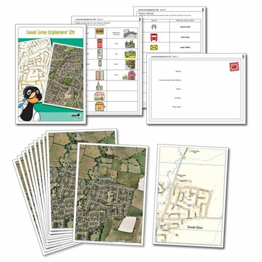
Community Mapping Project: Task students with creating their own map of the local area, highlighting landmarks, points of interest, and personal anecdotes. This collaborative project fosters teamwork, creativity, and a deeper connection to the community.
Mastering Compass Directions for Navigation
Understanding compass directions is the cornerstone of effective map navigation, enabling students to navigate their local area with confidence and precision. By mastering the cardinal directions—north, south, east, and west—students can chart their course with ease. Here are some teaching ideas to reinforce compass direction skills:
-
Compass Rose Craft: Have students create their own compass rose—a visual representation of the cardinal directions—using art supplies like colored paper, markers, and compasses. This hands-on activity reinforces the concept of directionality while fostering creativity.
-
Orienteering Adventure: Organise an orienteering adventure where students navigate a course using compass directions and landmarks. Set up checkpoints throughout the local area and challenge students to navigate from point to point using map and compass skills.
-
Directional Games: Incorporate directional games and activities into classroom lessons to reinforce compass direction skills in a fun and interactive way. Games like "North, South, East, West" or "Follow the Leader" encourage students to practice directional vocabulary while engaging in physical movement.
By combining the exploration of local landmarks with the mastery of compass directions, students can develop a deeper appreciation for their local area while honing valuable navigation skills that will serve them well in the journey of life.
Spotlighting Local Gems and Navigating with Precision.
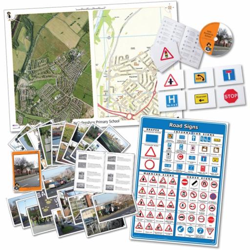
By spotlighting local areas of interest, students can increase their understanding of their community's history, culture, and geography. Below are a few ideas of how teachers can use the local area to enhance learning.
-
Walk and Create:
- Take students on a guided walk along a predetermined route in the local area using aerial maps.
- Encourage students to observe their surroundings closely and take notes or sketches.
- Back in the classroom, have students use their observations to create a piece of writing, artwork, or poetry inspired by their walk. This activity fosters creativity, observation skills, and appreciation for the local environment.
-
Land Use Analysis:
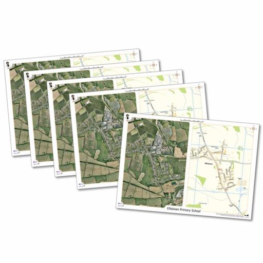
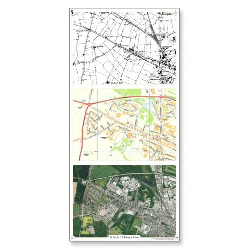
- Provide students with both aerial photographs and corresponding maps of the local area.
- Task students with identifying and analysing different types of land use visible in the photographs and maps.
- Encourage students to compare the information conveyed by the photographs and maps, noting any discrepancies or similarities.
- Have students estimate the percentage of each type of land use shown, promoting critical thinking and spatial analysis skills.
-
Pattern Recognition:
- Challenge students to identify patterns in land use visible on the aerial photographs and maps.
- Guide students to consider factors such as proximity to water bodies, roadways, or urban centers that may influence land use patterns.
- Encourage students to discuss the significance of these patterns and their implications for urban planning and development.
-
Environmental Assessment:
- Have students examine the aerial photographs and maps for potential environmental problems or issues.
- Guide students to identify features such as pollution sources, deforestation, or improper land use practices.
- Prompt students to discuss the environmental impact of these issues and possible solutions for mitigation.
-
Seasonal Comparison:
- Present students with aerial photographs taken at different times of the year, such as spring, summer, fall, and winter.
- Encourage students to compare and contrast the features visible in each photograph, noting differences in vegetation, weather conditions, and human activity.
- Facilitate a discussion on how seasonal variations impact the landscape and community dynamics.
-
Transportation Analysis:
- Direct students to identify and analyze visible transport links, such as roads, railways, and waterways, on the aerial photographs and maps.
- Guide students to consider factors influencing the placement of these transport links, such as topography, population density, and economic activity.
- Encourage students to discuss the role of transportation in shaping the local area's development and connectivity.
-
Settlement Development Inquiry:
- Prompt students to investigate the historical, geographical, and economic factors that have influenced the development of a particular settlement in the local area.
- Provide resources for students to research topics such as population growth, industry, transportation infrastructure, and urban planning policies.
- Facilitate a class discussion or presentation where students share their findings and insights into the settlement's development.
-
Landmark Research Project:
- Assign each student or group of students a specific local landmark or building to research.
- Provide guidance on conducting research, including using primary and secondary sources, interviewing local experts, and visiting the landmark if possible.
- Have students create presentations or reports showcasing their research findings, including historical background, architectural features, cultural significance, and current use of the landmark.
These teaching ideas promote hands-on exploration, critical thinking, and interdisciplinary learning, enriching students' understanding of their local area and fostering a deeper connection to their community.