...leading supplier of KS1 and KS2 Geography, History and Humanities resources
- MENU
-
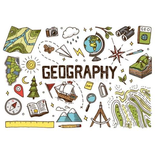
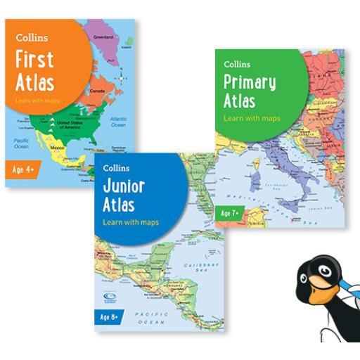
Geography
-
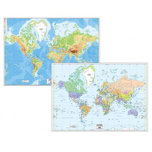
- The Americas
- USA
- South America
- Human Geography
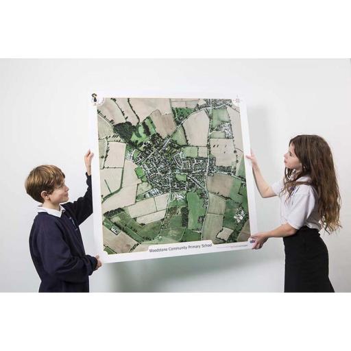
- Local Area
- Settlements
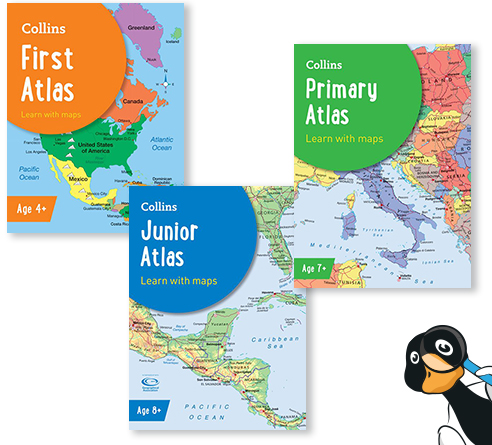
- Geograpy Skills
- Aerial Photography
- SplashMaps
- Fieldwork
- Mapping Skills
- Physical Geography
- Coasts
- Geographical Features
- Mountains
- Geography Skills
- Rivers
- Seaside
- Volcanoes and Earthquakes
-
-
History
-
- World History
- Ancient Egypt
- Ancient Greece
- Benin
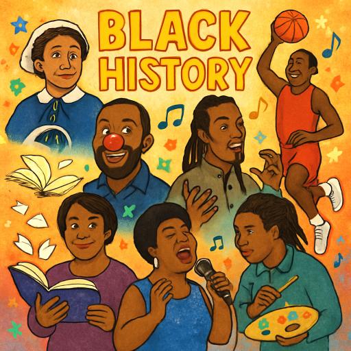
- Black History Month
- Early Islamic Civilisation
- Maya
- Indus Valley
- Romans
- Stone Age
- Archaeology
- British History
- Anglo Saxons
- Medieval
- Monarchs
- Tudors
- Victorians
- Vikings
- Significant People and Events
- Within Living Memory
- Great Fire of London
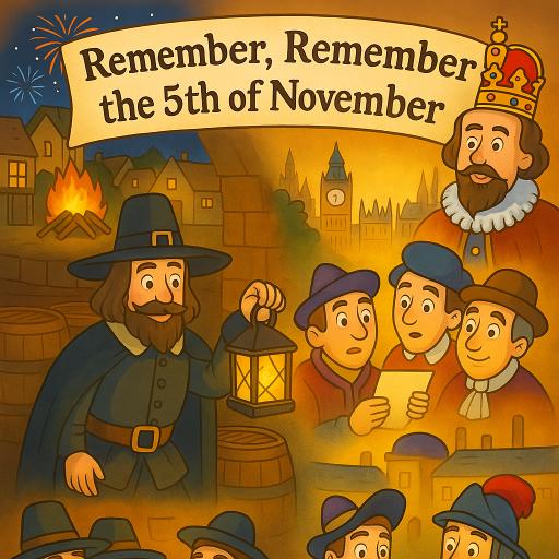
- Gunpowder Plot
- Significant People
- Remembrance Day
- World War I
- World War II
-
-
RE
-
Languages
-
Science
-
Maths
-
Music
-
Download
Making a difference in education.
Supporting teaching and learning with quality resources from our friendly, professional team.
FREE DELIVERY FOR ORDERS OVER £125.