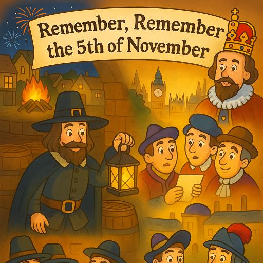
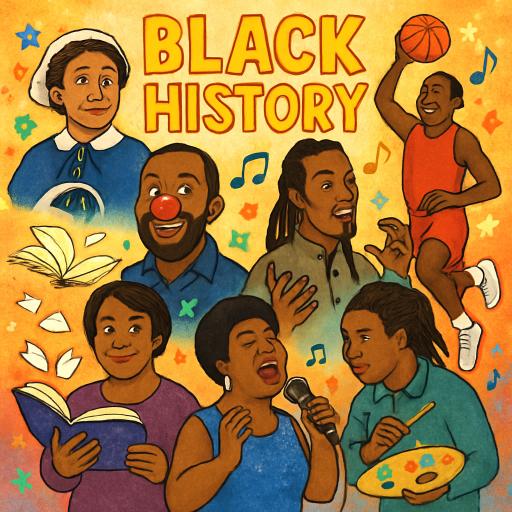
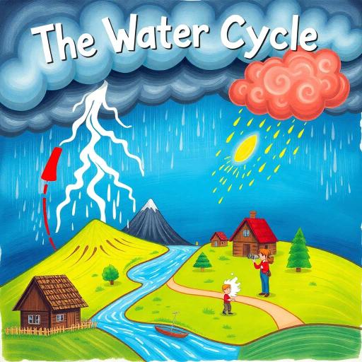
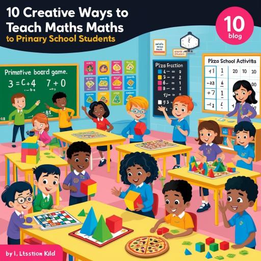
Diversification in teaching is important to help pupils retain interest, engage in learning and to create enthusiasm. Plus, when information is presented visually, it’s a lot more engaging.
How can Educational posters help?
Posters of the educational variety are like bread and butter and are a classic staple in the enhancement of learning. Posters can breathe new life into an old, run down classroom and add colour, vibrancy and quality information that can be read and seen on a daily basis. With the right mixture of pictures and text, posters can be a leading resource for any classroom environment.
How can Maps enhance learning?
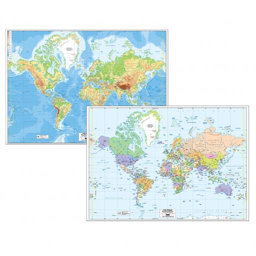
Learning about maps help children to begin to understand what is happening in the vast spaces around them. Spatial analysis is a key skill that students can develop as they learn about the earth, geography and environmental sciences. Learning about where countries and capital cities are situated, along with location and names of oceans, rivers and mountains, help pupils gain a larger world view than they wouldn’t ordinarily see in their daily lives.
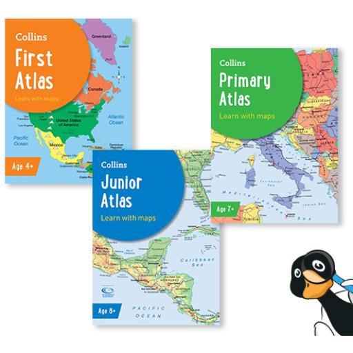
Many students learn better when data and information is presented visually. Take a look at our range of world maps to see how they could help with your teachings of world geography. younger children may only be able to focus on one of our simple maps with limited detail, but as children get older they will be able to comprehend multiple factors at once, so our physical and political maps would be more apt.
‘Maps not only show the world, they lubricate its easy movement. On an average day, we will consult them dozens of times, often almost unconsciously: checking the A-Z, the road atlas or the sat nav, scanning the tube or bus map, doing a quick Google online, flying over a virtual Earth, navigating around a retail behemoth, on the hunt for a branch of Boots, watching the weather forecast, planning a walk or a trip, catching up on the news, booking a holiday or hotel. Maps pepper books, brochures, advertisements, web pages and newspaper and magazine articles: we barely notice them because they do their job so well’
Mike Parker, 2009 Map Addict
A recent geography Ofsted Research Review makes it clear that the geography curriculum should introduce pupils to a variety of mapping, including topical and thematic mapping. As an aside, the more competent that students are in using maps, the sounder their ability to relate to geographical concepts. Ofsted also promotes that the geography curriculum should include sufficient opportunity to practise:
- Constructing and comparing maps
- Route-finding and categorising
- Interpreting map information to draw conclusions.
- Decoding information.
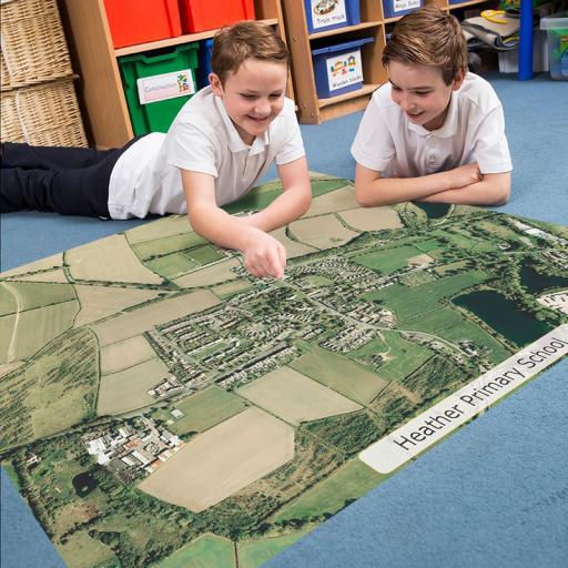
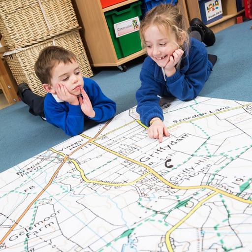
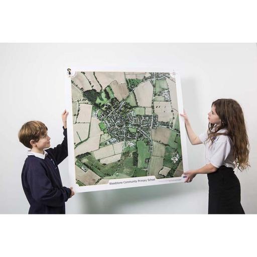
Some of the maps we offer can help with all of these points above. Our range of ‘Our School’ maps particularly help with route finding, constructing and comparing maps. These Maps are bespoke and centred on a particular area of interest (usually a landmark or the school itself), and encourage pupils to find and trace local landmarks, plan alternative routes to school and compare the different types of maps on offer.
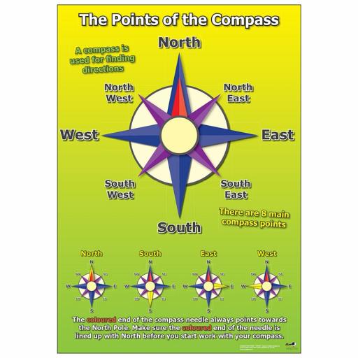
Directions and symbols.
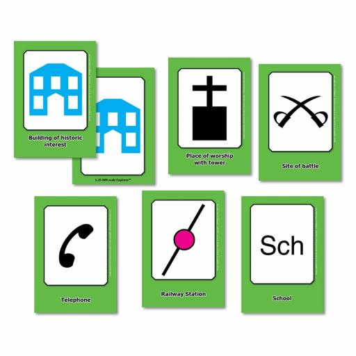
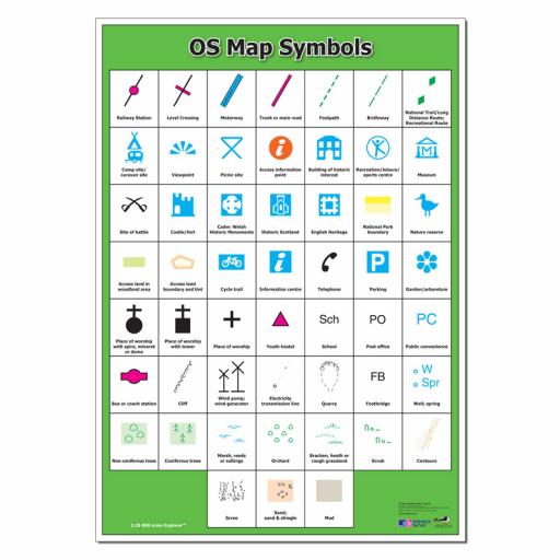
Another important feature of maps are the symbols and directions. It’s important to help students understand what a picture can symbolise, and have them guess what different symbols on a particular map may mean. This is a great opportunity to teach children about North, South, East and West. Use one of our compass or weather symbols posters to help differentiate between directions or our OS Map Symbols Poster can assist with learning about different symbols associated with maps.
Teaching ideas incorporating maps.
- Urge students to find their house on one of our ‘our school’ products. Ask them to trace their journey to and from school. Encourage them to find local features and places of interest.
- Use one of our maps to assist them in figuring distances between countries. How far would it be to travel to one of your holiday destinations? What sea/ocean would you fly over? Which direction would you fly? What countries would you fly over?
- Ask students to draw a map of their classroom or school. Ask them to create symbols and a map key to explain their map to others. Now have them go on a treasure hunt using their map!